Rapid changes on the ground in the Gaza Strip are introducing new layers of risk for civilians, most notably the emergence of what is being referred to as the “orange line” within the already established “yellow line”. These designations describe expanding military buffer zones enforced by Israeli forces along large parts of Gaza’s perimeter and, increasingly, within its interior. For a territory of roughly 365 square kilometres, home to more than two million people, any reduction in accessible land has immediate and severe humanitarian consequences.
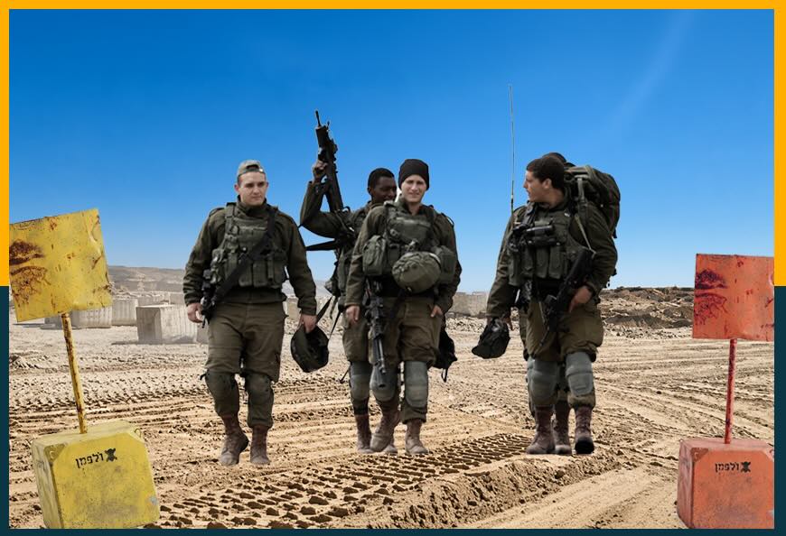
These lines are not marked in any consistent or visible way on the ground. Rather, they function as shifting, militarised boundaries that restrict movement and access. What might appear as ordinary open land, farmland, or even residential edges can suddenly fall within a “prohibited” zone, exposing civilians to the risk of being targeted without warning.
The so-called orange line, which reportedly extends between 200 and 300 metres in front of the yellow line, is considered the most dangerous. It carries no clear signage or physical barriers, effectively turning it into an invisible trap. A resident may unknowingly cross into an area classified as restricted and face immediate danger.
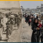
As these zones expand, the space available for Palestinians is shrinking dramatically. Field estimates suggest that only about one third of Gaza remains accessible to civilians, while the yellow line alone now covers more than 58 per cent of the territory, with dozens of military positions established behind it. In a densely populated area already under siege conditions, such territorial contraction intensifies overcrowding and deepens the humanitarian crisis.
The impact extends beyond movement. Restrictions linked to these zones severely hinder the delivery of humanitarian aid and the work of relief teams, who must coordinate access to areas that are often deemed unsafe or inaccessible. This further complicates efforts to provide food, medical care, and basic services to a population already facing extreme shortages.
According to field data, more than 269 Palestinians have been killed near the yellow line since last October, including around 100 children. These figures highlight the dangers associated with these zones, which have effectively become areas where the risk to civilian life is exceptionally high.
The lack of clarity surrounding the extent of the orange line adds another layer of fear. Residents may go to sleep believing they are in a relatively safe location, only to wake up within a newly imposed risk zone. This uncertainty creates a constant sense of insecurity, where daily life is shaped by invisible boundaries and shifting lines.
In Gaza today, geography is no longer simply about land and space. It has become a system of control that dictates movement, restricts access, and places lives at risk. Between lines drawn on maps and boundaries enforced on the ground, civilians are left navigating an increasingly confined and dangerous reality.